I admit being a map geek, and in thinking how to provide a navigation guide for the conference space in OEG Connect, I thought of the idea of a subway map. I have seen a few online tools for generating these, but really liked one called Brand New Subway that was created to allow people to experiment with transit design by adding on to the New York City system map.
The tool allowed me to choose a base map for the conference location in Cambridge and I added my own stops and lines to make my own imaginary map.
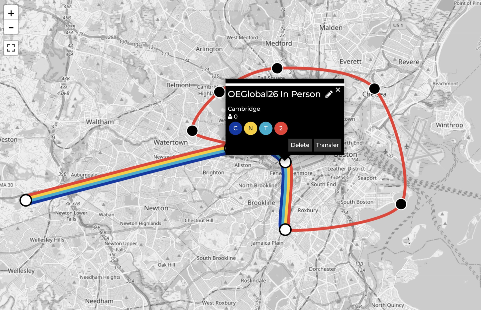
If you build anything in the Brand New Subway tool, you can save all the data in a json file. Anyone an then import that data file (use the Load button in the bottom trght) I created to explore it, add/remox it, and save your own version.
Try it with the OEGlobal 26 Hybrid Transit Map data file and see what you can create.
bns_saved_game.json (15.1 KB)
Have fun!
OEGlobal 2026 Navigator
 Program in Sched
 OEGlobal 2026 Conference Web Site
 Main Space in OEGConnect
 Front Entrance public conversations “outside” the venue
For Attendees:
The Lobby meet attendees
Information Desk updates and help
Session Conversations discussion and sharing
Interaction Zone activities and things to do